
Mayfield topographic map
Click on the map to display elevation.
About this map
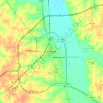
Name: Mayfield topographic map, elevation, terrain.
Location: Mayfield, Graves County, Kentucky, 42066, United States (36.70136 -88.67526 36.78136 -88.59526)
Average elevation: 148 m
Minimum elevation: 128 m
Maximum elevation: 168 m