
Thank you for supporting this site ❤️
Make a donation
Make a donation
Gear up for your next adventure:
As an Amazon Associate, this site earns from qualifying purchases at no extra cost to you.
La W topographic map
Click on the map to display elevation.
Thank you for supporting this site ❤️
Make a donation
Make a donation
Gear up for your next adventure:
As an Amazon Associate, this site earns from qualifying purchases at no extra cost to you.
About this map
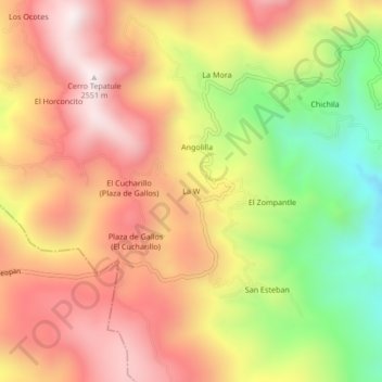
Name: La W topographic map, elevation, terrain.
Location: La W, Taxco de Alarcón, Guerrero, Mexico (18.52169 -99.73395 18.56169 -99.69395)
Average elevation: 2,185 m
Minimum elevation: 1,707 m
Maximum elevation: 2,545 m
Thank you for supporting this site ❤️
Make a donation
Make a donation
Gear up for your next adventure:
As an Amazon Associate, this site earns from qualifying purchases at no extra cost to you.