
Culpeper topographic map
Interactive map
Click on the map to display elevation.
About this map
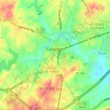
Name: Culpeper topographic map, elevation, terrain.
Location: Culpeper, Culpeper County, Virginia, 22701, Verenigde Staten (38.44548 -78.02855 38.49575 -77.97193)
Average elevation: 129 m
Minimum elevation: 96 m
Maximum elevation: 168 m