
San Javier topographic map
Interactive map
Click on the map to display elevation.
About this map
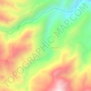
Name: San Javier topographic map, elevation, terrain.
Location: San Javier, Iles, Nariño, Colombia (0.98765 -77.53634 1.00765 -77.51634)
Average elevation: 2,793 m
Minimum elevation: 2,512 m
Maximum elevation: 3,055 m