
Azul topographic map
Interactive map
Click on the map to display elevation.
About this map
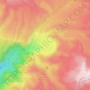
Name: Azul topographic map, elevation, terrain.
Location: Azul, Pereira, Risaralda, Colombia (4.72560 -75.46851 4.75126 -75.39144)
Average elevation: 3,891 m
Minimum elevation: 2,677 m
Maximum elevation: 4,650 m
Other topographic maps
Click on a map to view its topography, its elevation and its terrain.