
Kruiningen topographic map
Interactive map
Click on the map to display elevation.
About this map
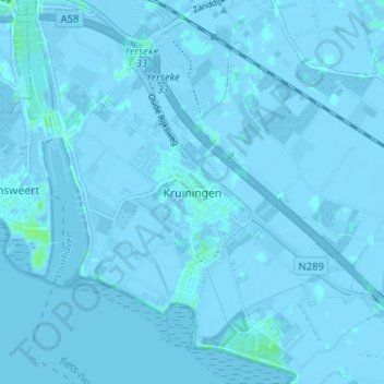
Name: Kruiningen topographic map, elevation, terrain.
Location: Kruiningen, Reimerswaal, Zeeland, Nederland, 4416, Nederland (51.42881 4.01410 51.46881 4.05410)
Average elevation: -1 m
Minimum elevation: -5 m
Maximum elevation: 7 m