
Donga topographic map
Interactive map
Click on the map to display elevation.
About this map
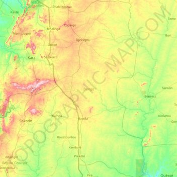
Name: Donga topographic map, elevation, terrain.
Location: Donga, Benin (8.47528 1.33750 10.06096 2.22188)
Average elevation: 346 m
Minimum elevation: 151 m
Maximum elevation: 837 m