
La Louvière topographic map
Interactive map
Click on the map to display elevation.
About this map
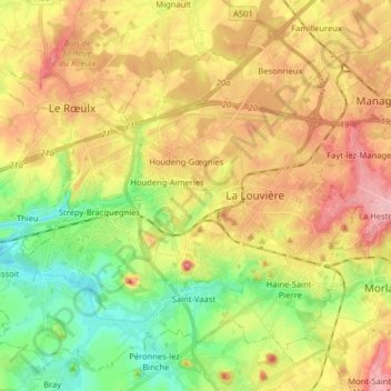
Name: La Louvière topographic map, elevation, terrain.
Location: La Louvière, Hainaut, Wallonie, 7100, Belgio (50.43327 4.06992 50.52496 4.22997)
Average elevation: 113 m
Minimum elevation: 44 m
Maximum elevation: 204 m