
Suwayr District topographic map
Interactive map
Click on the map to display elevation.
About this map
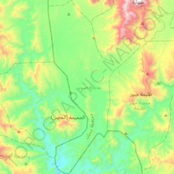
Name: Suwayr District topographic map, elevation, terrain.
Location: Suwayr District, Amran Governorate, Yemen (15.93526 43.56678 16.18692 43.67555)
Average elevation: 1,215 m
Minimum elevation: 671 m
Maximum elevation: 2,529 m
Other topographic maps
Click on a map to view its topography, its elevation and its terrain.
Tallah
Yemen > Amran Governorate > Tallah
Tallah, Habur Zulaymah District, Amran Governorate, Yemen
Average elevation: 1,267 m
Baghdad
Yemen > Amran Governorate > Baghdad
Baghdad, As Sawd District, Amran Governorate, Yemen
Average elevation: 1,375 m