
Kubara topographic map
Interactive map
Click on the map to display elevation.
About this map
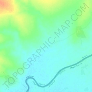
Name: Kubara topographic map, elevation, terrain.
Location: Kubara, Fufore, Adamawa State, Nigeria (9.46333 12.96333 9.50333 13.00333)
Average elevation: 203 m
Minimum elevation: 191 m
Maximum elevation: 229 m