
Kobror topographic map
Interactive map
Click on the map to display elevation.
About this map
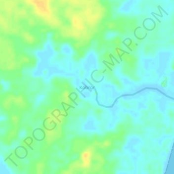
Name: Kobror topographic map, elevation, terrain.
Location: Kobror, Aru Islands, Moluccas, Indonesia (-6.28191 134.69965 -6.24191 134.73965)
Average elevation: 9 m
Minimum elevation: -1 m
Maximum elevation: 26 m