
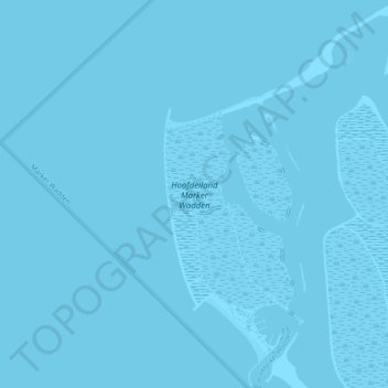
Hoofdeiland Marker Wadden topographic map
Interactive map
Click on the map to display elevation.
About this map
Name: Hoofdeiland Marker Wadden topographic map, elevation, terrain.
Average elevation: 0 m
Minimum elevation: 0 m
Maximum elevation: 0 m
Other topographic maps
Click on a map to view its topography, its elevation and its terrain.
Marker Wadden
Nederland > Flevoland > Lelystad
Marker Wadden, Lelystad, Flevoland, Nederland, 8242 NM, Nederland
Average elevation: 0 m
Oostvaardersplassen
Nederland > Flevoland > Lelystad
Oostvaardersplassen, Lelystad, Flevoland, Nederland, 8218AA, Nederland
Average elevation: -3 m
Knarbos Oost
Nederland > Flevoland > Lelystad
Knarbos Oost, Knarweg, Lelystad, Flevoland, Nederland, 8218NB, Nederland
Average elevation: -3 m