
คลองไทวา topographic map
Interactive map
Click on the map to display elevation.
About this map
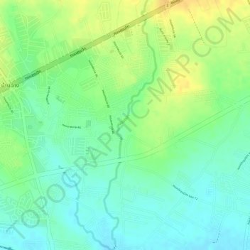
Name: คลองไทวา topographic map, elevation, terrain.
Location: คลองไทวา, บ้านฉาง, ラヨーン県, 21130, タイ王国 (12.70616 101.06552 12.73414 101.07150)
Average elevation: 44 m
Minimum elevation: 30 m
Maximum elevation: 60 m