
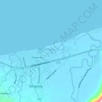
Barangay 18-A topographic map
Interactive map
Click on the map to display elevation.
About this map
Name: Barangay 18-A topographic map, elevation, terrain.
Average elevation: 5 m
Minimum elevation: 0 m
Maximum elevation: 244 m
Other topographic maps
Click on a map to view its topography, its elevation and its terrain.
Balingasag
Philippines > Misamis Oriental
Balingasag, Misamis Oriental, Northern Mindanao, 9005, Philippines
Average elevation: 30 m
Laguindingan
Philippines > Misamis Oriental > Laguindingan
Laguindingan, Misamis Oriental, Northern Mindanao, 9019, Philippines
Average elevation: 71 m
Manticao
Philippines > Misamis Oriental > Manticao
Manticao, Misamis Oriental, Northern Mindanao, 9024, Philippines
Average elevation: 37 m