
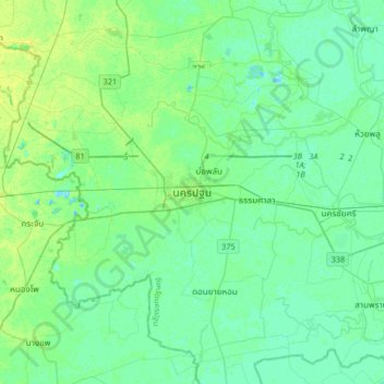
ナコーンパトム topographic map
Interactive map
Click on the map to display elevation.
About this map
Name: ナコーンパトム topographic map, elevation, terrain.
Location: ナコーンパトム, นครปฐม, ลำพยา, ナコーンパトム県, 73000, タイ王国 (13.65971 99.90012 13.97971 100.22012)
Average elevation: 6 m
Minimum elevation: -6 m
Maximum elevation: 18 m