
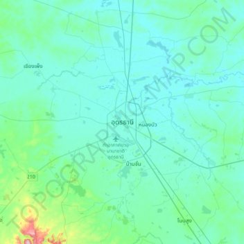
ウドーンターニー topographic map
Interactive map
Click on the map to display elevation.
About this map
Name: ウドーンターニー topographic map, elevation, terrain.
Location: ウドーンターニー, หนองขอนกว้าง, ウドーンターニー県, 41000, タイ王国 (17.24824 102.62681 17.56824 102.94681)
Average elevation: 191 m
Minimum elevation: 166 m
Maximum elevation: 384 m