
Glenburn topographic map
Interactive map
Click on the map to display elevation.
About this map
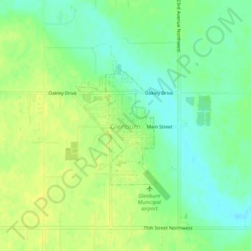
Name: Glenburn topographic map, elevation, terrain.
Location: Glenburn, Renville County, North Dakota, United States (48.50677 -101.22890 48.51955 -101.21570)
Average elevation: 477 m
Minimum elevation: 466 m
Maximum elevation: 485 m