Draper topographic map
Click on the map to display elevation.
Draper
Draper's climate is roughly identical to other Salt Lake City suburbs. However, due to being further away from the Great Salt Lake, varied elevation, and from the downtown urban heat island effect, Draper experiences a slightly drier winter and more extremes in temperatures.
About this map
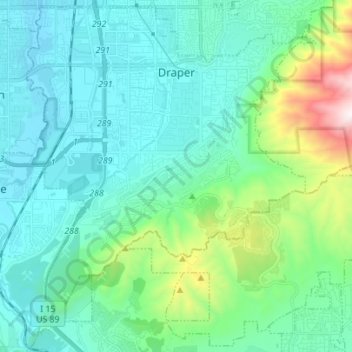
Name: Draper topographic map, elevation, terrain.
Location: Draper, Salt Lake County, Utah, 84020, United States (40.45171 -111.92199 40.54435 -111.78321)
Average elevation: 1,570 m
Minimum elevation: 1,317 m
Maximum elevation: 2,715 m
Other topographic maps
Click on a map to view its topography, its elevation and its terrain.
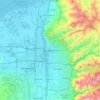
Salt Lake City
United States > Utah > Salt Lake County > Salt Lake City
Salt Lake City has an area of 110.4 square miles (286 km2) and an average elevation of 4,327 feet (1,319 m) above sea level. The lowest point within the boundaries of the city is 4,210 feet (1,280 m) near the Jordan River and the Great Salt Lake, and the highest is Grandview Peak, at 9,410 feet (2,868 m).
Average elevation: 1,625 m