
Aquila topographic map
Interactive map
Click on the map to display elevation.
About this map
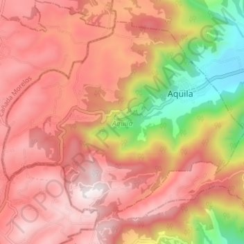
Name: Aquila topographic map, elevation, terrain.
Location: Aquila, Veracruz de Ignacio de la Llave, 94750, México (18.76391 -97.35482 18.81299 -97.29219)
Average elevation: 2,364 m
Minimum elevation: 1,750 m
Maximum elevation: 2,739 m