

Highlands topographic map
Click on the map to display elevation.
Highlands
Highlands was founded in 1875 after its two founders, Samuel Truman Kelsey and Clinton Carter Hutchinson, drew lines from Chicago to Savannah and from New Orleans to New York City. They felt that the place where these lines met would eventually become a great trading center and commercial crossroads. Highlands was named for its lofty elevation.
About this map
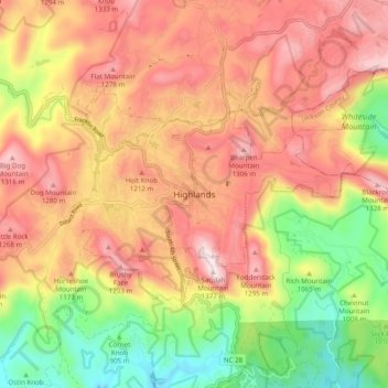
Name: Highlands topographic map, elevation, terrain.
Average elevation: 1,090 m
Minimum elevation: 767 m
Maximum elevation: 1,360 m