
trucha topographic map
Interactive map
Click on the map to display elevation.
About this map
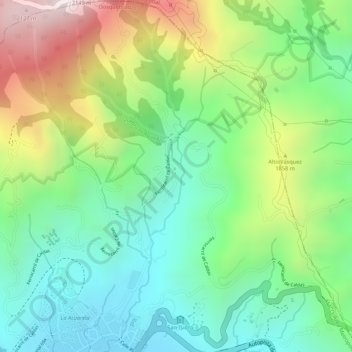
Name: trucha topographic map, elevation, terrain.
Location: trucha, Dosquebradas, Risaralda, Colombia (4.87004 -75.65216 4.87014 -75.65210)
Average elevation: 1,745 m
Minimum elevation: 1,499 m
Maximum elevation: 2,148 m