Geolocate

Nazareth topographic map

Click on the map to display elevation.

About this map

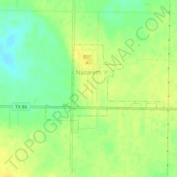
Name: Nazareth topographic map, elevation, terrain.

Location: Nazareth, Castro County, Texas, United States (34.53500 -102.11069 34.54847 -102.08872)

Average elevation: 1,142 m

Minimum elevation: 1,129 m

Maximum elevation: 1,151 m

Other topographic maps

Click on a map to view its topography, its elevation and its terrain.

Roy

United States > Texas > Castro County

Average elevation: 1,147 m

Sheffy Park

United States > Texas > Castro County > Dimmitt

Average elevation: 1,181 m

Gear up for your next adventure:

🦟Heavy Duty Insect Repellent - Essential protection against flies, mozzies, and march flies
🔦Headlamps - Hands-free lighting for hiking
🎒Hiking Backpacks - Backpacks designed for hiking and trekking
🎒Ultralight Backpacks - Lightweight packs for long hikes
🧣Merino Neck Gaiters - Versatile headwear for warmth, sun protection, or dust filtering

As an Amazon Associate, this site earns from qualifying purchases at no extra cost to you.