Geolocate

Adlington topographic map

Click on the map to display elevation.

About this map
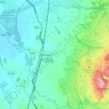
Name: Adlington topographic map, elevation, terrain.

Location: Adlington, Cheshire East, England, United Kingdom (53.29694 -2.15986 53.34231 -2.08746)

Average elevation: 124 m

Minimum elevation: 80 m

Maximum elevation: 281 m

Gear up for your next adventure:

📡Portable Emergency Radios - Stay informed about weather warnings and bushfire alerts
🎒40L Day Hiking Backpacks - Comfortable packs with hydration support for long days exploring topographic peaks
🛰️Handheld GPS Units - Rugged GPS devices for tracking coordinates and elevation in the Australian bush
🩹Wilderness First Aid Kits - Comprehensive medical kits tailored for hiking and remote exploration
🏫Topographic World Globes - 3D physical relief globes to understand global geography

As an Amazon Associate, this site earns from qualifying purchases at no extra cost to you.