
Hardingstone topographic map
Click on the map to display elevation.
About this map
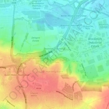
Name: Hardingstone topographic map, elevation, terrain.
Location: Hardingstone, West Northamptonshire, England, United Kingdom (52.20489 -0.89320 52.23033 -0.84722)
Average elevation: 81 m
Minimum elevation: 54 m
Maximum elevation: 112 m
Other topographic maps
Click on a map to view its topography, its elevation and its terrain.
Lower Thorpe
United Kingdom > England > West Northamptonshire > Thorpe Mandeville
Average elevation: 154 m
Ravensthorpe Reservoir
United Kingdom > England > West Northamptonshire > Coton
Average elevation: 131 m