
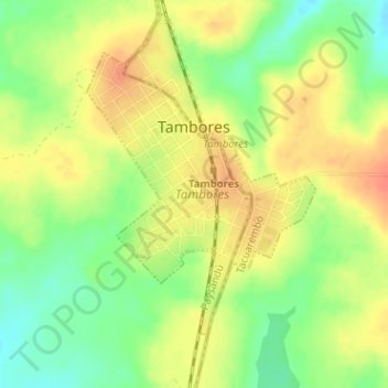
Tambores topographic map
Interactive map
Click on the map to display elevation.
About this map
Name: Tambores topographic map, elevation, terrain.
Location: Tambores, Paysandú, 45004, Uruguay (-31.88927 -56.25206 -31.86955 -56.23854)
Average elevation: 264 m
Minimum elevation: 237 m
Maximum elevation: 286 m