
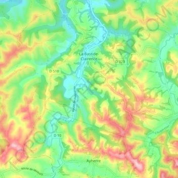
La Bastide-Clairence topographic map
Interactive map
Click on the map to display elevation.
About this map
Name: La Bastide-Clairence topographic map, elevation, terrain.
Average elevation: 83 m
Minimum elevation: 5 m
Maximum elevation: 198 m
Agnescous est un hameau mentionné en 1863 dans le dictionnaire topographique Béarn-Pays basque. Pessarou est noté Pessarrou par Paul Raymond.