
Ставе topographic map
Interactive map
Click on the map to display elevation.
About this map
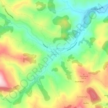
Name: Ставе topographic map, elevation, terrain.
Location: Ставе, Колубарски управни округ, Serbie centrale, Serbie (44.23938 19.67073 44.27938 19.71073)
Average elevation: 458 m
Minimum elevation: 311 m
Maximum elevation: 667 m