
Zacatipa topographic map
Interactive map
Click on the map to display elevation.
About this map
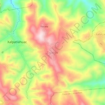
Name: Zacatipa topographic map, elevation, terrain.
Location: Zacatipa, Xalpatláhuac, Guerrero, México (17.44650 -98.61195 17.48650 -98.57195)
Average elevation: 1,658 m
Minimum elevation: 1,432 m
Maximum elevation: 1,851 m