
Cantón topographic map
Interactive map
Click on the map to display elevation.
About this map
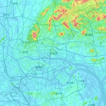
Name: Cantón topographic map, elevation, terrain.
Location: 天河区, Cantón, Guangdong, 510665, China (22.96712 113.19642 23.28712 113.51642)
Average elevation: 31 m
Minimum elevation: -14 m
Maximum elevation: 364 m
Other topographic maps
Click on a map to view its topography, its elevation and its terrain.