
Antana topographic map
Interactive map
Click on the map to display elevation.
About this map
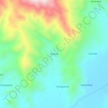
Name: Antana topographic map, elevation, terrain.
Location: Antana, Azángaro, Puno, Pérou (-15.04847 -70.27246 -15.00847 -70.23246)
Average elevation: 4,054 m
Minimum elevation: 3,881 m
Maximum elevation: 4,469 m