
西滨镇 topographic map
Interactive map
Click on the map to display elevation.
About this map
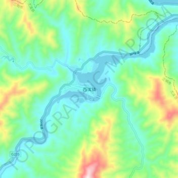
Name: 西滨镇 topographic map, elevation, terrain.
Location: 西滨镇, 尤溪县, 三明市, 福建省, 中国 (26.32660 118.34473 26.40660 118.42473)
Average elevation: 236 m
Minimum elevation: 53 m
Maximum elevation: 753 m
Other topographic maps
Click on a map to view its topography, its elevation and its terrain.