
La Marache topographic map
Interactive map
Click on the map to display elevation.
About this map
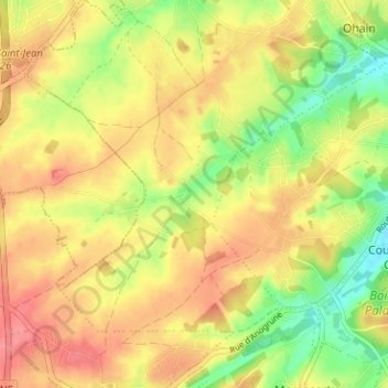
Name: La Marache topographic map, elevation, terrain.
Average elevation: 110 m
Minimum elevation: 69 m
Maximum elevation: 141 m
Other topographic maps
Click on a map to view its topography, its elevation and its terrain.
Beaumont
Belgique > Brabant wallon > Nivelles > Lasne
Beaumont, Lasne, Nivelles, Brabant wallon, Wallonie, 1380, Belgique
Average elevation: 116 m