
Arbuckle topographic map
Interactive map
Click on the map to display elevation.
About this map
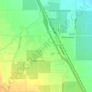
Name: Arbuckle topographic map, elevation, terrain.
Location: Arbuckle, Colusa County, California, 95912, United States (39.00562 -122.07466 39.02865 -122.05139)
Average elevation: 42 m
Minimum elevation: 27 m
Maximum elevation: 58 m