
Eganstown topographic map
Interactive map
Click on the map to display elevation.
About this map
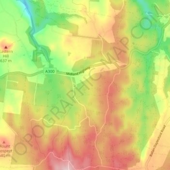
Name: Eganstown topographic map, elevation, terrain.
Location: Eganstown, Shire of Hepburn, Victoria, Australia (-37.39221 144.05955 -37.33297 144.12753)
Average elevation: 582 m
Minimum elevation: 448 m
Maximum elevation: 707 m