
印塘乡 topographic map
Interactive map
Click on the map to display elevation.
About this map
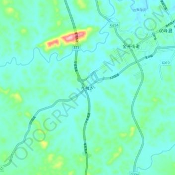
Name: 印塘乡 topographic map, elevation, terrain.
Location: 印塘乡, 娄底市, 湖南省, 中国 (27.39208 112.09020 27.47208 112.17020)
Average elevation: 115 m
Minimum elevation: 81 m
Maximum elevation: 284 m
Other topographic maps
Click on a map to view its topography, its elevation and its terrain.