
Acora topographic map
Interactive map
Click on the map to display elevation.
About this map
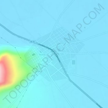
Name: Acora topographic map, elevation, terrain.
Location: Acora, Puno, Perú (-15.98039 -69.80237 -15.96653 -69.78646)
Average elevation: 3,836 m
Minimum elevation: 3,818 m
Maximum elevation: 4,023 m