
Макат topographic map
Interactive map
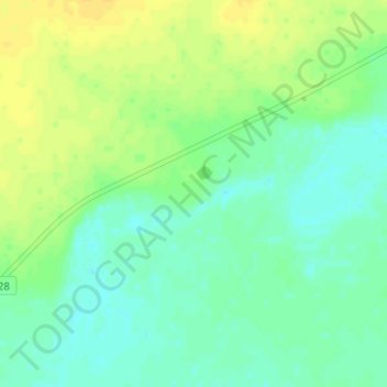
Click on the map to display elevation.
About this map
Name: Макат topographic map, elevation, terrain.
Location: Макат, Амангельдинский район, Костанайская область, Казахстан (50.35891 65.46550 50.39891 65.50550)
Average elevation: 154 m
Minimum elevation: 145 m
Maximum elevation: 166 m