
Miraflores topographic map
Interactive map
Click on the map to display elevation.
About this map
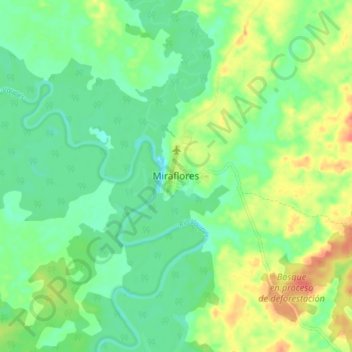
Name: Miraflores topographic map, elevation, terrain.
Location: Miraflores, Guaviare, RAP Amazonía, Colombia (1.29692 -71.99148 1.37692 -71.91148)
Average elevation: 206 m
Minimum elevation: 188 m
Maximum elevation: 234 m
Other topographic maps
Click on a map to view its topography, its elevation and its terrain.
Santa Ines
Colombia > Guaviare > Miraflores > Santa Ines
Santa Ines, Miraflores, Guaviare, Colombia
Average elevation: 178 m