
Texhuacán topographic map
Interactive map
Click on the map to display elevation.
About this map
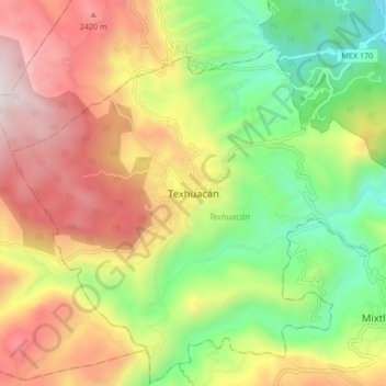
Name: Texhuacán topographic map, elevation, terrain.
Location: Texhuacán, Veracruz, México (18.58080 -97.07853 18.66080 -96.99853)
Average elevation: 1,882 m
Minimum elevation: 1,208 m
Maximum elevation: 2,672 m