
Paya Lumpat topographic map
Interactive map
Click on the map to display elevation.
About this map
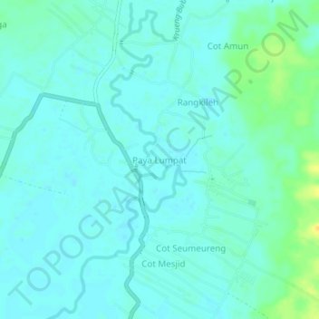
Name: Paya Lumpat topographic map, elevation, terrain.
Location: Paya Lumpat, Samatiga, Aceh Barat, Aceh, 23651, Indonesia (4.21698 96.04898 4.25698 96.08898)
Average elevation: 6 m
Minimum elevation: 0 m
Maximum elevation: 24 m