
Soumer topographic map
Interactive map
Click on the map to display elevation.
About this map
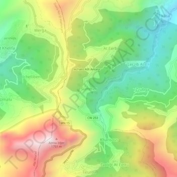
Name: Soumer topographic map, elevation, terrain.
Location: Soumer, Daïra Iferhounene, Tizi Ouzou, 15013, Algérie (36.49258 4.34336 36.53258 4.38336)
Average elevation: 1,080 m
Minimum elevation: 605 m
Maximum elevation: 1,732 m