
Oteppe topographic map
Interactive map
Click on the map to display elevation.
About this map
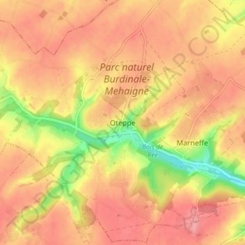
Name: Oteppe topographic map, elevation, terrain.
Location: Oteppe, Burdinne, Hoei, Luik, Wallonië, 4210, België (50.56239 5.10699 50.60239 5.14699)
Average elevation: 162 m
Minimum elevation: 102 m
Maximum elevation: 192 m