Sialum topographic map
Click on the map to display elevation.
About this map

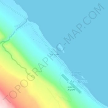
Name: Sialum topographic map, elevation, terrain.
Location: Sialum, Morobe, Momase Region, Papua New Guinea (-6.10268 147.57359 -6.06268 147.61359)
Average elevation: 69 m
Minimum elevation: 0 m
Maximum elevation: 399 m
Other topographic maps
Click on a map to view its topography, its elevation and its terrain.


Lae
Papua New Guinea > Morobe > Lae District
Lae, Lae District, Morobe, Momase Region, Papua New Guinea
Average elevation: 162 m

Umboi Island
Umboi Island, Finschhafen District, Morobe, Momase Region, Papua New Guinea
Average elevation: 177 m


Malai Island
Malai Island, Finschhafen District, Morobe, Momase Region, Papua New Guinea
Average elevation: 1 m


Finschhafen District
Finschhafen District, Morobe, Momase Region, Papua New Guinea
Average elevation: 491 m

Sialum Island
Sialum Island, Finschhafen District, Morobe, Momase Region, Papua New Guinea
Average elevation: 567 m