
Mayfa'a District topographic map
Interactive map
Click on the map to display elevation.
About this map
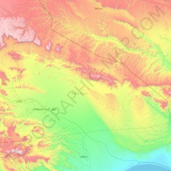
Name: Mayfa'a District topographic map, elevation, terrain.
Location: Mayfa'a District, Shabwah Governorate, Yemen (14.14751 47.36387 14.63147 48.11616)
Average elevation: 749 m
Minimum elevation: 0 m
Maximum elevation: 1,926 m