Les Pacots topographic map
Interactive map
Click on the map to display elevation.
About this map
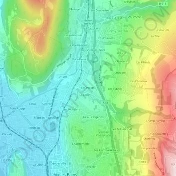
Name: Les Pacots topographic map, elevation, terrain.
Average elevation: 361 m
Minimum elevation: 232 m
Maximum elevation: 630 m

Click on the map to display elevation.
Name: Les Pacots topographic map, elevation, terrain.
Average elevation: 361 m
Minimum elevation: 232 m
Maximum elevation: 630 m