Geolocate
👉 Easily get elevation data in JSON, GeoTIFF and KML formats using Elevation API
Thank you for supporting this site ❤️
Make a donation

Gear up for your next adventure:

As an Amazon Associate, this site earns from qualifying purchases at no extra cost to you.

Tanagan topographic map

Click on the map to display elevation.

About this map

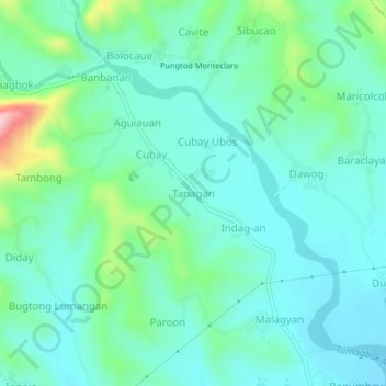
Name: Tanagan topographic map, elevation, terrain.

Location: Tanagan, Miagao, Iloilo, Western Visayas, 5023, Philippines (10.65531 122.19689 10.69531 122.23689)

Average elevation: 68 m

Minimum elevation: 12 m

Maximum elevation: 275 m

Gear up for your next adventure:

🔭Compact Hiking Binoculars - Lightweight optics for scouting routes or birdwatching
🚁Camera Drones with GPS - Capture aerial views of the landscape to compare with topo maps
🐍Australian Snake Bite Kits - Specific pressure immobilization bandages for Australian venomous snakes
🍳Camping Cookware - Cookware sets for outdoor meals
Altimeter Barometer Watches - Outdoor watches with built-in sensors to track altitude changes and weather shifts

As an Amazon Associate, this site earns from qualifying purchases at no extra cost to you.