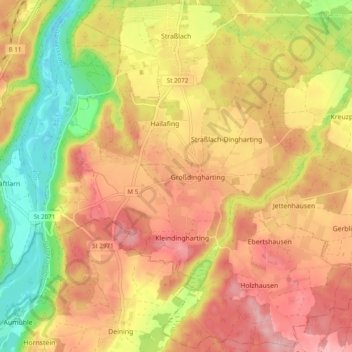
Straßlach-Dingharting topographic map
Interactive map
Click on the map to display elevation.
About this map
Name: Straßlach-Dingharting topographic map, elevation, terrain.
Average elevation: 634 m
Minimum elevation: 543 m
Maximum elevation: 702 m

Click on the map to display elevation.
Name: Straßlach-Dingharting topographic map, elevation, terrain.
Average elevation: 634 m
Minimum elevation: 543 m
Maximum elevation: 702 m