
Rollag topographic map
Interactive map
Click on the map to display elevation.
About this map
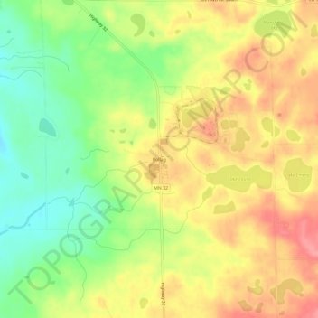
Name: Rollag topographic map, elevation, terrain.
Location: Rollag, Clay County, Minnesota, United States (46.72115 -96.25836 46.76115 -96.21836)
Average elevation: 400 m
Minimum elevation: 355 m
Maximum elevation: 441 m
Other topographic maps
Click on a map to view its topography, its elevation and its terrain.
Felton
United States > Minnesota > Clay County
Felton, Clay County, Minnesota, United States
Average elevation: 279 m