
Clydevale topographic map
Click on the map to display elevation.
About this map
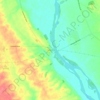
Name: Clydevale topographic map, elevation, terrain.
Location: Clydevale, Clutha District, Otago, 9247, New Zealand (-46.11984 169.50653 -46.07984 169.54653)
Average elevation: 39 m
Minimum elevation: 10 m
Maximum elevation: 81 m
Other topographic maps
Click on a map to view its topography, its elevation and its terrain.