Geolocate

Isauld topographic map

Click on the map to display elevation.

About this map

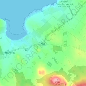
Name: Isauld topographic map, elevation, terrain.

Location: Isauld, Reay, Highland, Scotland, KW14 7RW, United Kingdom (58.54172 -3.78103 58.58172 -3.74103)

Average elevation: 30 m

Minimum elevation: 0 m

Maximum elevation: 119 m

Gear up for your next adventure:

🧦Hiking Socks - Comfortable socks for long hikes
🥶Thermal Beanies - Warm hats for cold hikes
🎒Tactical Waist Packs - Quick access to your compass, phone, and snacks while walking
🧭Military Style Lensatic Compass - Durable sighting compasses for advanced land navigation and surveying
🕶️Polarized Outdoor Sunglasses - Reduce glare from rocks and water for better visual navigation

As an Amazon Associate, this site earns from qualifying purchases at no extra cost to you.